|
|
|
MODERATE DAY HIKE 7.4 miles 1,100' elevation gain
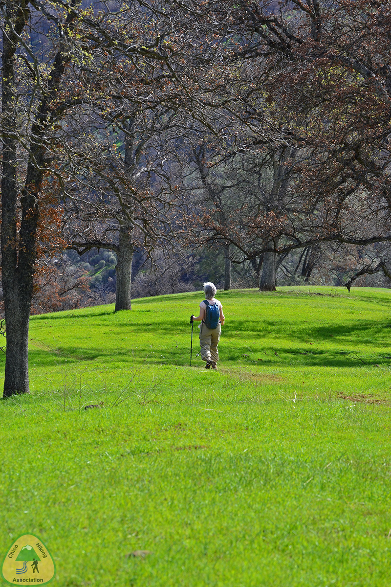
best season: 1:30 drive dogs welcome This is a hike in the Cache Creek Natural Area. It starts with a ford of Bear Creek*, and then climbs through Blue Oak woodland to grassy knolls atop the ridge. The soil is high in clay, and may be muddy when wet. Wide-ranging views in all directions. Some flowers in March and early April. Look for blue dicks, fillaree, buttercups, lupine, popcornflower, fiddleneck, redbud, and buckbrush. Trail has clay mud when wet; let dry for 5 or more days after rain before doing this hike. *There is a crossing of Bear Creek. The flow ranges from easy to impassable. The Bear Creek Flow Gauge gives current flow readings. (Scroll down past RIV STG FEET)(CFS = cubic feet per second)
If the creek is high, the ford can be bypassed by a short cross-country walk from the highway bridge (see the hike map). This hike is in Cache Creek Natural Area; owned by the public, managed by Ukiah Field Office of Bureau of Land Management. Backpacking welcomed.
Calif.
Campfire Permit required for backpacking stoves and
campfires. Ukiah Bureau of Land Management campfire
restrictions
here. Maps (revised 2022) |
 Avenza version
 Adobe PDF version