|
|
|
CHALLENGING BACKPACK 25.6 miles 3400' elevation gain
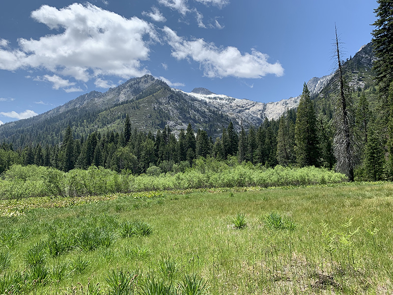
best season: 2:30 drive dogs welcome This is a long walk up a forested canyon which transitions to meadows with high peaks around and finally to origin of Stuart Fork in the lakes amid the crags of the Trinity Alps. The end of the trail can have snow into June, but the lower canyon is excellent hiking in May. The trail is very well constructed the entire length. However, from Morris Meadows to Sapphire Lake has inexplicably been allowed to overgrow; bring your loppers. The start of the hike can be quite warm. If weather prediction is for hot weather, it is recommended to arrive in early evening and hike in a short ways to one of the first campsites. And get an early start the next day to do the bulk of the climb in the cool of the morning. This is a popular hiking area so avoid holiday weekends. If the parking lot is less than filled, there should be good campsites available. Bears are present and would like to eat your food. Bring a bear-proof canister. Wilderness Permits required, and can be picked up at self-service kiosks at Forest Service stations in Weaverville or Mule Creek Fire Station. A California Campfire Permit is required for campfires or gas stoves and can be obtained here. This hike is in Shasta-Trinity National Forest; owned by the public, managed by Shasta-Trinity National Forest. Backpacking welcomed; campfires welcomed except during campfire restriction periods.
current weather
forecast: Maps (July 2022 edition)
|
 Avenza version
 Adobe PDF version